Training Workshop, 27th–28th October, Sulaimani, Iraqi Kurdistan
Posted 24.11.2016
R. Bewley, J. Bradbury, E. Cunliffe and A. Zerbini write
As part of our Protecting the Past intiative, from October 27th–28th, several members of the EAMENA team (Robert Bewley, Jennie Bradbury, Emma Cunliffe, Andrea Zerbini) were able to run a training workshop in Iraqi Kurdistan for staff and
students from the American University in Iraq, Sulaimani (AUIS) and the University of Sulaimani. This two-day workshop introduced trainees to the range of different resources, including satellite imagery, historical aerial photographs and cartographic
data available for interpretation and heritage research management. It went on to provide them with an overview and practical experience of how to use these resources and, importantly, where to source them.
The first day started with introductions and an ‘ice breaker’; we asked each trainee about their background and experience, why they were attending the course and what they hoped to gain from it. We had a huge range of backgrounds in the class, from experienced archaeology professors to students graduating in computer science. For a lot of trainees, one of the key reasons for attending the course was to gain further experience and training in how to use satellite imagery and historic aerial photographs to identify and monitor local archaeological sites.
After the introductions, Jennie, Andrea and Emma gave the trainees a detailed overview of the different data sources available for heritage research, from Corona to Google Earth to historical aerial photographs for mapping data. The team also provided
information on useful websites, such as the Corona Atlas of the Middle East.
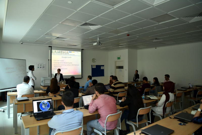
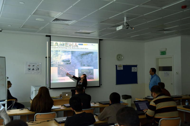
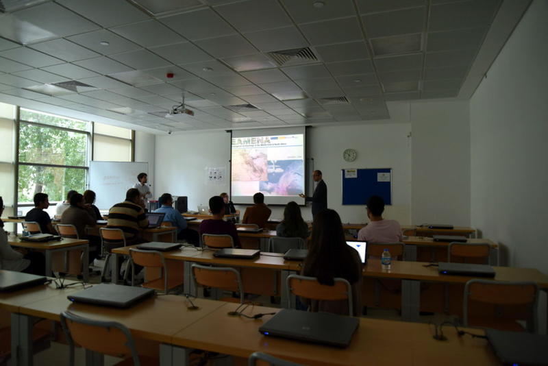
Training sessions on data sources and site types
Following on from this, and in preparation for the first practical session, the class was introduced to the main sites types e.g. tells, enclosures, etc., that can be identified from across the MENA region using different types of satellite imagery and
aerial photographs. This fed into our first ‘hands on’ session of the day, where trainees were given the opportunity to try and identify different sites from selected areas of Saudi Arabia and Iraqi Kurdistan using Google Earth imagery. The first
day concluded with a presentation by Emma on the main disturbance types affecting archaeological sites in the MENA region, such as agricultural expansion, infrastructural development and erosion. Looking beyond conflict and looting, we discussed how
common these disturbance types were in the region and the local, national and international measures that could be taken to record, monitor, and ultimately mitigate them.
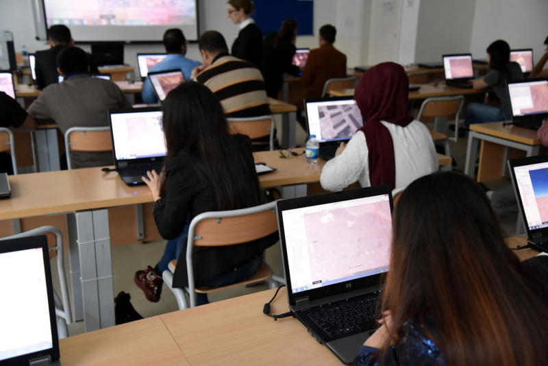
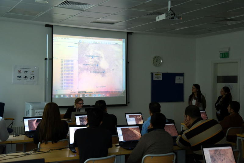
Practical Sessions on Google Earth
The second day started with a introduction by Robert Bewley, the EAMENA Project Director. Having gained a detailed background to some of the methodologies used by the project the day before, the trainees were now introduced to the main aims and objectives
of EAMENA and some of the ways in which we are trying to achieve them. This introductory talk was followed up by a more in-depth practical session.
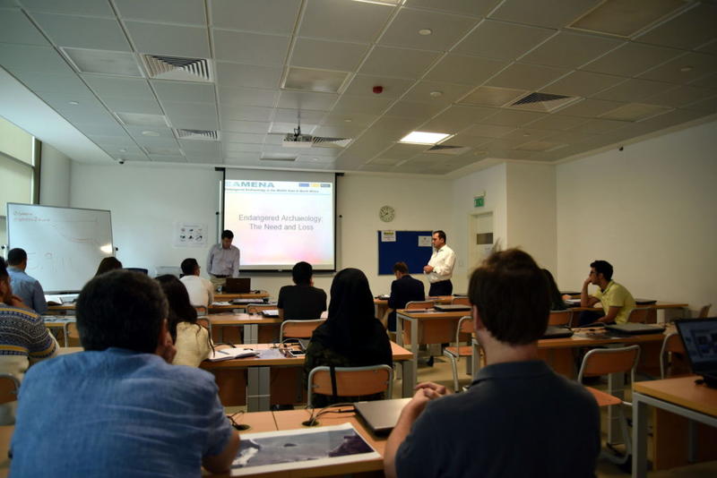
Bob talking about the EAMENA Project
Using knowledge they had gained the previous day, the trainees were all asked to undertake assessments of different site types using satellite imagery. Groups were given the task of finding the sites in the satellite imagery, interpreting what they
could see, suggesting possible dates for the features, and then identifying the visible disturbance types, the effects and the threats affecting each site. Each group presented an overview of their findings to the whole class. These practical sessions
were incredibly useful, not only (hopefully) for the trainees, but also for us as a team. It was very interesting to see what different people identified as archaeological and, in particular, the ways in which different groups thought about and recorded
the range of threats that might affect the archaeological sites in the future. These sessions enabled us to reflect on some of the ways in which we had taught our approach to the study of disturbances and site identification on the first day.
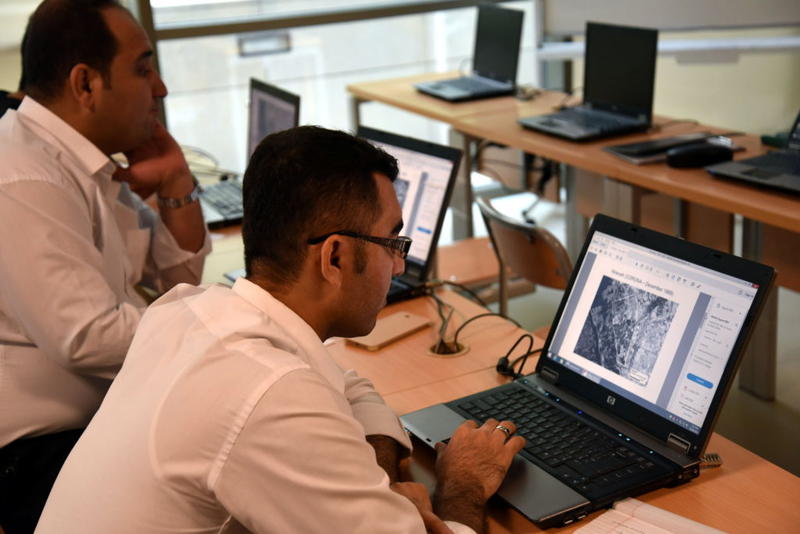
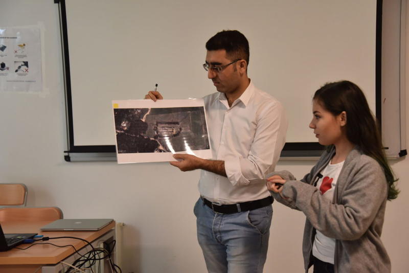
Practical Sessions and Presentations
Following this practical session, we continued with a quick demonstration of the EAMENA heritage platform and database by our ITS & GIS Officer, Andrea Zerbini. The trainees were then given the chance to explore the different types of data stored
in the database, query and search for specific site-types and disturbances, and ask any questions about the EAMENA project they might have. A stand-alone version of the EAMENA heritage platform was installed on the AUIS server and has remained available
for students and tutors of the University who may wish to use it for training in heritage management recording. Similarly, two laptops bought for the training (thanks to the generous support of a Barakat Trust grant) were installed with the EAMENA
heritage platform and donated to the Department of Archaeology of the University of Sulaimani at the end of the workshop.
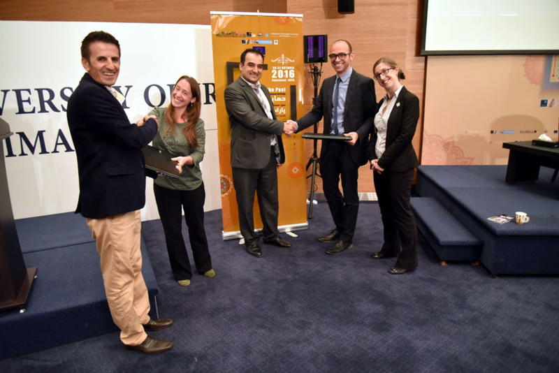
EAMENA staff donate two Acer laptops to the Department of Archaeology, University of Sulaimani
The final talk of the day was by Robert Bewley giving trainees an overview of the history of many of these approaches (from the early 20th century till now) and some of the future directions that, together, we might take.
The day closed with Jennie handing out the attendance certificates to the students to rapturous applause!
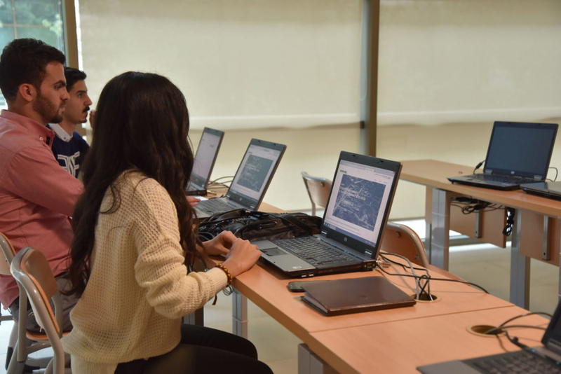
Trainees searching the EAMENA database
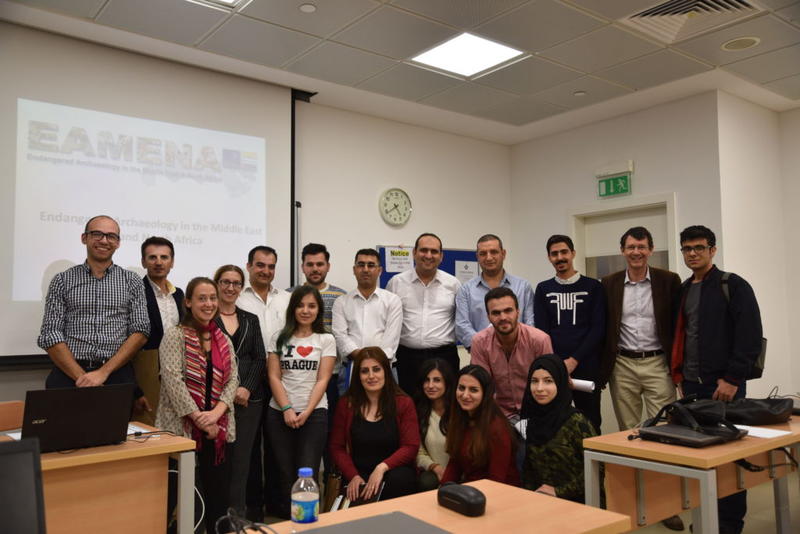
Workshop attendees
Despite a few technical hitches, the workshop was a fantastic opportunity for the EAMENA team. We met some wonderful colleagues and students from the two universities and were able to exchange a wealth of ideas and information. Thank you so much to everyone in Sulaimani who made this event such a great experience and especially to our wonderful translators for their hard work. We very much hope that this is just the first in a series of training events throughout the MENA region and look forward to going back to Sulaimani very soon!


